Contacts & Resources!
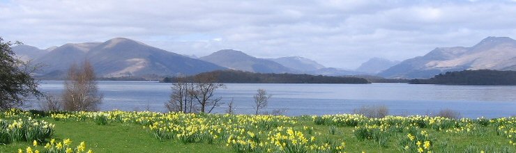
Here you can find some useful resources when fishing on the Loch Lomond system. Everything from maps to information resources about tide times and other groups who are partners with the L.L.A.I.A.
We have many visitors from around the world so we thought the easiest way to show how to get here was to use Google Maps.
Follow this link and a full road map with optional satellite photos will open.
Full colour fishing maps of Loch Lomond are available from this page.
The British Geological Society and Loch Lomond and Trossachs National Park Authority (LLTNPA) have collaborated to produce a new navigation chart of Loch Lomond.
You can find more information at the website of the British Geological Society.
Anglers may be interested in the underwater contours shown in this fly-through video of the Loch Lomond canyon.
The LLAIA is also a founding member and important part of the Loch Lomond Fisheries Trust (LLFT). Find out more about this body by visiting their website here.
Tide Tables for the region are available from here.
Membership application forms can be downloaded from the links in the orange box below and tickets can also be bought by following the link to the local retailers.
Email us at web@lochlomondangling.com
Full Membership of the L.L.A.I.A for a season allows the angler to fish any of the Associations water.
Permits can be applied for by writing to :
| The Secretary L.L.A.I.A PO BOX 3559 GLASGOW G71 7SJ |
Loch Lomond Angling Improvement Association
Become a member!
-
It's easy and affordable to join the L.L.A.I.A and it gives you access to some of the highest quality Salmon and Seatrout angling in the UK.
Simply follow the links on the right to check permit prices, find a list of permit retailers or download membership application forms...